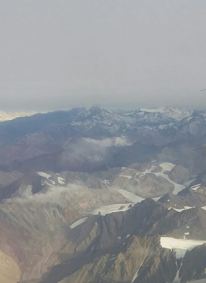
During my trip to Chile, I visited part of Andes Mountain Range close to Santiago, Chile’s capital. In this post, sights of the world’s most extensive mountain chain are shown.
Andes Formation
Andes Mountain Range appears with convergent movement of the Nazca and South American tectonic plates. In this subduction, Nazca plate goes down and South American plate is pushed above, forming a mountain chain.

To know how these plates move, click on the button below.
Mountain at east of Santiago
At the east of Santiago, getting to Camino a Farellones road. There are nice sights with mountains. In this path, you pass through Cometierra and Corral Quemado. This area has many ski stations that work during winter.


An isolated church.

Since it is an isolated area, photovoltaic solar panels are used to provide energy to lamps at night.

This is the Mapocho River, which is born from the confluence of San Francisco and Molina rivers. The Molina River comes from the thaw of Cerro El Plomo of the Andes Mountain Range and San Francisco River comes from the mountains of Yerba Loca. Mapocho river cross the center of Santiago.

Due to the dry climate, there are many cactus in road and in the mountains.

Cajon del Maipo
In the southeast of Santiago, the Cajon del Maipo is an ecotourism region where are made open air activities like rafting, camping, picnics, etc. These are some sights of this region at Camino Al Volcán road.


The mountains of Cajon de Maipo are rich in stones, allowing the construction of quarries.


The “lines” in these mountains are caused by the motion of the South American and Nazca plates.


This is the Maipo river, born in east side of Maipo volcano at 5523 meters of altitude. Has 250 km, its tributaries are Colorado, Yeso and Volcán rivers. This river’s water comes from the thaw.

Maipo River seen from the bridge of the El Engenio estuary.

Arm’s square of San José del Maipo commune. This commune has more than 18,000 inhabitants, 4994.8 km² area and is 46 km from Santiago.

El Tinoco railway tunnel stays close to San Afonso locality.


